
Mankato ZIP Research
Mankato ZIP research has three postal contexts to keep separate. The United States Postal Service groups 56001, 56002, and 56003 in the Mankato 560 hub, yet the numbers serve different functions. One is the primary standard-delivery context, one is for Mankato post-office boxes, and one reaches the Mankato and North Mankato area. A ZIP directory is most useful when it preserves those differences instead of drawing a false neighborhood line around a five-digit number.
| ZIP | Mankato-area use | Postal context | Research note |
|---|---|---|---|
| 56001 | Standard-delivery addresses associated with central and broad Mankato-area use | USPS Mankato at 220 E. Main Street, plus the nearby Madison East station | Preferred city label is Mankato; confirm an exact address before relying on delivery assignment. |
| 56002 | Mankato post-office-box service | Mankato postal and box route | A box ZIP has no parcel or block geography by itself. |
| 56003 | Standard-delivery addresses associated with the Mankato and North Mankato area | USPS lists nearby North Mankato at 245 Belgrade Avenue | Postal naming does not settle the municipality or county for a particular address. |
Use the table as a verification starting point, not as a resident list. The county’s address-assignment work may be done by the city or county depending on the property, and a parcel’s legal description and PIN often resolve an uncertainty that a ZIP cannot. For an old Mankato address, retain the street spelling, number, ZIP if printed, and the date of the source. Each is a separate part of the record trail.
Mankato Postal Labels
A Mankato ZIP label is a mail-routing convention, not a municipal map. This matters most at the 56003 edge, where North Mankato is a separate municipality associated with Nicollet County even though postal naming can place it in a broader Mankato context. The 56002 label has a different issue: it identifies post-office-box service and should never be treated as the physical location of a parcel, a street segment, or a community area.
A common Mankato postal-label mistake: a preferred USPS city name does not decide which city office, county office, election district, or parcel system holds the record. Check the exact address with USPS, then use the Blue Earth County parcel route or the appropriate local office. North Mankato questions may require a different municipal or county record path than a Mankato mailing label suggests.
Note: No official parcel-level ZIP polygon or municipal table was located that assigns every Mankato-area neighborhood to a ZIP with precision.
Mankato USPS Checks
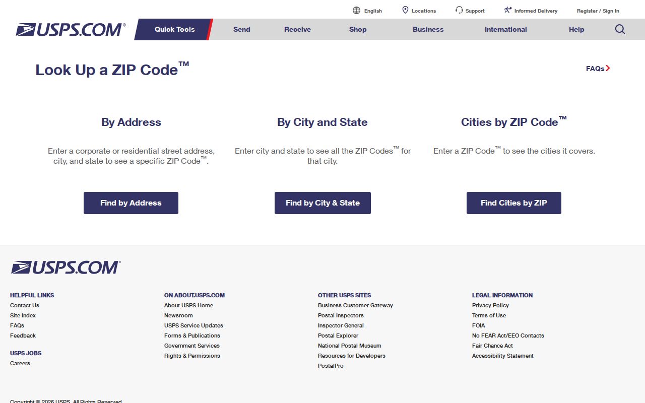
The USPS ZIP Code Lookup is the official first check for an address, a city-and-state search, or a ZIP-to-city search. Its address mode asks for a street and city/state, with company, apartment or suite, and ZIP handled as optional fields. The ZIP result establishes deliverability and postal labeling. USPS expressly warns that it does not verify that a person or company is at the address.
| USPS lookup mode | Key fields | What the result answers |
|---|---|---|
| By address | Street and city/state required; company, unit, and ZIP optional | Postal ZIP for a known delivery address |
| By city and state | City and state | ZIP contexts associated with the entered place |
| Cities by ZIP | ZIP | Postal city labels associated with that ZIP |
The USPS lookup screen shows the three search modes used to confirm Mankato delivery information before a records search.
After USPS supplies the postal result, keep it beside the source date. Postal delivery data is a useful address check, but it does not replace a Mankato parcel, civic, or historical record.
Mankato ZIP Search Limits
ZIP-based resident searching is narrow in the official Mankato record systems. USPS checks an address but does not establish a person at that address. MNVotes has a ZIP search mode, but it requires a specific person’s first name, last name, and complete date of birth. It is a confirmation tool, not a public ZIP-wide voter browse. The Blue Earth County property landing page was unavailable for live field inspection, so a ZIP filter, export, or ZIP-wide parcel search should not be promised.
- Verify the known address with USPS and save the ZIP result with the search date.
- Use the county property route with the street address or parcel number, the two search keys confirmed in the research.
- Use MNVotes only to confirm a named individual who supplies the required identifying details, not to make a ZIP roster.
- For a lawful voter-list request, follow Minn. Stat. §201.091 and the Secretary of State’s request process rather than assuming a ZIP alone unlocks a list.
Once a ZIP check has narrowed an address, the Mankato by-street directory is the better route for a named street and its address-keyed public records. ZIP codes are a filter, while a precise street or parcel is the actual local record key.
Mankato ZIP Property Fields
Blue Earth County’s Property Information system is the next official route after an address check. The county confirms address and parcel-number searching through its assessments and appraisals material. Its paid GIS and CAMA products document possible fields such as PIN, owner, mailing ZIP, situs ZIP, legal description, building details, permits, and sales. Those paid-product fields do not prove that every item appears on a free parcel card.
A situs address is the physical parcel location. A mailing address is where tax correspondence is sent, which may be elsewhere. This distinction is important in a Mankato ZIP directory because a mailing ZIP does not identify the parcel’s location, and a property owner does not establish every person associated with an address. The legal description remains the formal land identifier, while the PIN helps locate the parcel.
The Blue Earth County property-information landing page is the county’s entry point for an address or parcel search.
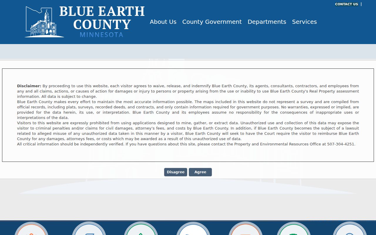
If a Mankato parcel card is unavailable or incomplete, the county advises independent verification. The county also warns against mining or extracting map data, so use the displayed record for a focused, lawful question rather than attempting a bulk ZIP compilation.
Mankato Address Forms
Records around a Mankato ZIP use several address forms, and the labels are not interchangeable. A historical directory follows the printed street address. A deed follows the legal description and named parties. The property system links a physical address to a PIN. The voter system is keyed to a registration residence, and USPS is concerned with deliverability. Matching two forms before drawing a conclusion reduces false matches.
- ZIP and ZIP+4
- A ZIP identifies a postal delivery area. ZIP+4 adds a smaller delivery segment, not a municipal boundary.
- PO-box ZIP
- A postal designation for boxes at an office. It does not identify a physical parcel or block.
- Unique ZIP
- A ZIP assigned to one organization or delivery arrangement. The inspected Mankato research did not identify one to use as a resident geography.
- Carrier route
- A postal delivery sequence used for mail handling. It is not an official resident directory or legal boundary.
The county’s Mapping and Data information notes that physical street addresses may be assigned by either the county or city. For an address-assignment question, city 311 or 507-387-8600 and the county Mapping/GIS office at 507-304-4251 are the documented routes.
Mankato ZIP City Limits
The Mankato city limit, a postal ZIP, an election district, and a county parcel are four different geographies. A 56001 mailing label can serve an address whose civic context does not precisely match the incorporated line. A 56003 label raises the separate North Mankato and Nicollet County question. The City of Mankato’s address lookup starts with a street address and can return neighborhood, ward, precinct, districts, polling place, service, and council-member context. It does not identify everyone at the address.
For a ZIP directory search, use USPS for deliverability, the city lookup for Mankato civic context, and Blue Earth County records for a parcel connection. If those answers conflict, preserve the exact address and date, then ask the custodian which geography controls the record you need. That is especially important where a Mankato postal label reaches beyond a city or county line.
Historic Mankato ZIP Address Checks
Older Mankato sources may use a street form that no longer matches an address lookup. City minutes document Map Court becoming Swan Lane in 2001, the 1987–88 standardization to Tullamore, and West Drive becoming Thomas Drive in 1973. They are useful local bridge points, not a complete citywide crosswalk. When a historic directory, deed, or clipping names a different street form, search variants and pair the address with a legal description, plat, or adjacent parcel.
For historical address work, record the postal label as printed but do not expect USPS to resolve every past address. The BECHS Polk directory collection and county land records provide more useful local bridge evidence. The historical volumes and address sections are separate from the ZIP directory’s current postal role. When a source conflicts, keep the printed address, variant spelling, source date, parcel identifier, and result type in one research note. That record makes a later correction or new map comparison easier to test.