
Mankato Previous Residents by Era
The backward trail of a Mankato, Minnesota address has uneven local coverage. County recording books are stated to reach the mid-1800s, but the current county page does not name Laredo or Tapestry's exact online cutoff. BECHS keeps the Polk directory run from 1892 through 2014 and identifies address-oriented material in the 1929-30 volume, while a separate newsletter uses 1932 for the start of reverse Mankato directories. Federal census schedules are public through 1950, except for the largely destroyed 1890 schedules. Use the date range as a guide, then record the repository that actually supplied the result.
| House-history source | Years located locally | Where held | What it can establish |
|---|---|---|---|
| County deed books and recorder index | Books reach the mid-1800s; online cutoff not stated | Government Center public area, Laredo, and Tapestry | Recorded title instruments, parties, dates, and legal descriptions |
| Polk city directories | 1892-2014; address section identified from 1929-30, with 1932 separately reported | BECHS Research Center | Published address, business, and householder leads |
| Federal census | Public through 1950; 1890 loss | Federal census repositories and library access | Enumerated household on the census date |
| Mankato Sanborn set | October 1884, eleven sheets | Library of Congress online | Street, footprint, materials, and neighboring built context |
| Mankato Free Press | Library description begins January 1859 and continues to the present | Blue Earth County Library, BECHS, and MNHS | Notices, obituaries, social items, and address leads |
| City permit route | CityView online service launched 2022; full historic start not confirmed | CityView or a city records request | Construction or application date evidence |
Previous residents research is strongest when title, directory, census, newspaper, and map results remain in separate columns. They describe related facts, but they do not make the same claim.
Note: The stated date span belongs to each repository and record type, not to one seamless database of Mankato address history.
Start a Mankato Address History
Begin with today's parcel card, not an old street spelling. Blue Earth County confirms address and parcel-number searching in the property-characteristics system. Save the situs address, owner and mailing fields, PIN, legal description, and date searched. The situs is the physical parcel location. The mailing address is where tax correspondence goes and can belong to a person, business, care-of recipient, or organization elsewhere. It is useful as a locate clue, but it does not establish who was present at the parcel.
For Mankato previous residents, the legal description is the key bridge. Street names, numbers, subdivisions, and postal labels can shift. A legal description can remain stable across those changes, although a PIN may be a later mapping aid rather than an older-book index key. Use a recorded plat when a lot or block needs to be connected to that legal description.
Note: Record the parcel-card date and distinguish the situs from the mailing address before using either field as a historical lead.
Trace Mankato Deed Records Backward
Recorded deeds form the title trail. The Blue Earth County Recording Division points researchers to Fidlar Laredo and Tapestry and maintains a public research area at the Government Center. Search the current parcel's legal description or PIN, then review the most recent deed. Record the document number, recording date, document type, grantor, grantee, and legal description. The grantor transfers an interest. The grantee receives it. A deed image or ordered copy is the check on the index entry.
- Find the current parcel through the county property route and preserve its legal description, PIN, and current recorded owner.
- Search the owner as grantee in the recorder index to locate the acquisition deed, using the document number and recording date to verify the match.
- Write down the seller or grantor from that deed, then search that name as a prior grantee and grantor to find the next transfer.
- Repeat the process with initials, marital forms, trusts, estates, corporations, and spelling variants kept exactly as printed.
- When online results stop, ask Recording Division staff about the public research area and historical books rather than assuming the chain has ended.
- Grantor
- The person or entity transferring a recorded interest in an instrument.
- Grantee
- The person or entity receiving the interest named in the instrument.
- Chain of title
- The sequence of recorded transfers that connects a parcel's later and earlier owners.
- Legal description
- The formal land description used in recorded documents. It is often more durable than a street address for older Mankato work.
The Blue Earth County Real Estate Records Search page identifies the counter, Laredo/Tapestry route, and document-number copy process.
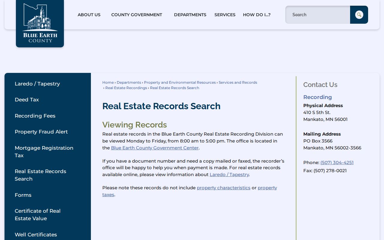
The index is a path to the recorded instrument. It does not guarantee that every older image is online or that the transfer identifies a household.
Mankato's Offline Deed Years
The gap between online access and historical coverage matters. The county says its recording books reach the mid-1800s, but its current page does not state the precise Laredo/Tapestry cutoff. Do not label a missing online result as the first owner or the end of a chain. The public can view records at the Government Center during the county's listed weekday hours, and document-number copies can be mailed or faxed after payment. The Recording Division's published fee page also lists old-book copies, customer and employee copies, certified copies, and name-search charges.
This is a useful Mankato records gap, not a mystery to fill with assumptions. Ask staff which book, page, or index path applies to the date in question, then keep that access note with the address-history worksheet.
Note: A book or counter search may be necessary even when a recent online result is available for the same parcel.
Match Mankato Directories and Census
Title records are only one part of who lived here before. A Polk reverse or householder section can link a printed address to a published name in a directory year. The alphabetical section can then add a spouse or relationship notation, occupation, business, or a name variant, depending on that volume's key. Pair the entry with the closest federal census schedule and keep the source dates visible. A directory might have been compiled before its title year, while a census reflects a particular enumeration date.
- Copy the street number and spelling from the reverse directory exactly as printed.
- Check the alphabetical directory section for the same name and its volume-specific abbreviations.
- Compare the closest available census year, allowing for movement, changed street names, and missing directory years.
- Use a deed, newspaper notice, death index, marriage record, church record, or yearbook as an independent identity check.
The full shelf and volume history are available through the Mankato city directories. Here, the directory is used as one dated link in an address trail.
Mankato's 1890 Record Gap
The destroyed 1890 federal census makes the nearby Polk volumes unusually important. BECHS lists Mankato directory volumes for 1892, 1895, 1897, and 1900, and it reports an 1871-72 Mankato Business Directory plus an 1881 Blue Earth County Directory before the surviving Polk run. Those early sources may show a business or address lead, not a complete household. Their value comes from placing a person and a street in a narrow period that the census cannot supply.
Newspaper, cemetery, church, and deed research can help bridge the same break. The Blue Earth County Library describes Mankato Free Press microfilm from January 1859 to the present, while BECHS and MNHS describe their own, different title runs. Record the repository and reel or database each time instead of merging them into one coverage claim.
Mankato House History at BECHS
BECHS's 2014 house-history guidance recommends a local sequence: begin with Polk, use reverse lookup from the late 1920s, take names to the Research Center, and pair land records and plat maps with a current-map comparison. The Research Center offers clipping files, photographs, city directories, family histories, microfilmed newspapers, yearbooks, obituary and cemetery indexes, and finding aids. Submit a research request for address-specific material, then make an appointment after staff confirms what is held. The process cannot promise a complete file for every address.
The BECHS Research Center page describes the collection, appointment route, research orders, contact information, and current open-hour details.
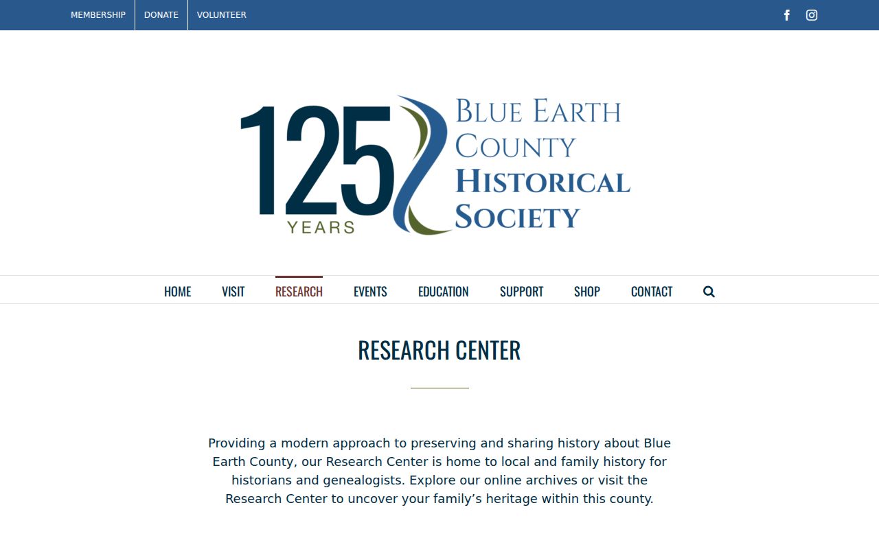
The society's 2025 annual report says volunteers staff the Research Center during open hours after an archivist position became vacant, so confirm the appointment and response timing before a visit.
Note: Research Center materials can offer leads and context, while the recorder remains the custodian for a recorded title instrument.
Bridge Mankato Street Name Changes
Address continuity can break a past-residents search even when the parcel history is intact. Mankato minutes show Map Court becoming Swan Lane in the Eldorado Park subdivision in 2001 to reduce addressing and emergency confusion. The city standardized Nava(h)o or Tullemore to Tullamore in 1987 and 1988, using both signs temporarily. West Drive became Thomas Drive in 1973 in an old airport-annexation tract. These examples are documented search bridges, not a complete citywide crosswalk.
Test old and new spellings, the subdivision name, nearby parcels, a plat, legal description, and the directory's reverse section. An old address that fails a modern search has not necessarily disappeared from the historical record.
Mankato Past Households and Endpoints
Obituaries, cemetery records, probate, maps, and permits can close or test a trail. The Library of Congress holds an eleven-sheet October 1884 Mankato Sanborn set, useful for a structure's footprint, building material, stories, street layout, and surrounding use. It does not name every past resident. A later CityView record may date an addition, demolition, or alteration. An obituary can identify relatives and a last address, while a will or probate record may connect the owner to heirs or a different mailing address.
Use each ending source for its own claim. A Sanborn map is structure evidence. A directory is a published household lead. A census is an enumerated household on its date. A deed is title evidence. Keeping those distinctions is the best safeguard against turning one Mankato address into an unsupported list of previous residents.
Lawful personal use. Use Mankato address history for family research, estate questions, preservation, and personal curiosity. Do not use records to stalk, harass, intimidate, or harm a living person.
Note: A negative result belongs in the worksheet too, with the source, date searched, address form, and reason the record did not establish the claimed connection.