
Walk a Mankato Street
A by-address search has a useful order. Blue Earth County confirms address and parcel-number searching in its property-characteristics route. The parcel gives a stable connection when a street number or spelling changes. From there, the county map can place the parcel among its neighbors. The deed index can then supply the title trail, while the voter and reverse-directory tools answer more limited, date-specific questions about a person or published householder. Record the source date beside every name.
- Enter the known number and street in the Blue Earth County assessment search, then save the situs address, PIN, legal description, owner name, and search date.
- Open the county map instructions, switch between its search and map tabs, and click the parcels that touch or face the same street segment.
- Use the current parcel's legal description or PIN to locate its newest recorded deed, then capture the document number, parties, recording date, and document type.
- For a specific person, use MNVotes only as an individual confirmation tool with the required name, birth date, and address details.
- For an earlier date, take the exact address to the Polk reverse section at BECHS and check the alphabetical entry for spelling, spouse, and business details.
That sequence keeps a street search grounded in the right kind of proof. It also leaves a clear trail when an address, parcel, or surname changes between records.
Mankato Street Directory Property Fields
The assessor layer is where a Mankato street directory begins, but it is not a list of every person at an address. The confirmed public keys are an address and parcel number. The county's 2025 GIS and CAMA field inventory identifies the kinds of data kept for paid products, including owner and mailing fields, situs address, legal description, acreage, building area, stories, year built, style, heating, roof, basement, baths, garage, permits, sales, and classification. The free card's exact live labels and owner-name search mode were not confirmed while the public landing page was under maintenance.
| Beacon search field | Confirmed status | How it helps on a street |
|---|---|---|
| Street address | Confirmed | Finds the parcel associated with a known Mankato number and street. |
| Parcel number or PIN | Confirmed | Links the mapped parcel to the legal-description and deed route. |
| Owner name | Not confirmed during inspection | Check the live system before relying on a name-only search. |
| ZIP, export, filters, or history | Not confirmed during inspection | Do not assume these controls are available in the public system. |
The Blue Earth County Property Information landing page displays the county's public-property route and disclaimer.
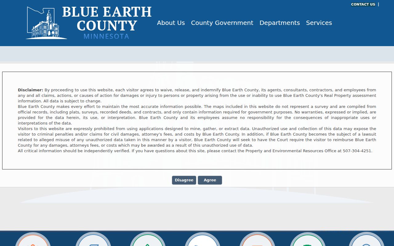
Use the result as a parcel lead, then confirm critical map or ownership details with the custodian rather than treating a screen result as a survey or household roster.
Note: The county's paid CAMA field inventory explains possible property attributes, but it does not guarantee the same fields appear on the free card.
Read Mankato Parcels in Beacon
Blue Earth County gives a simple block method: locate one address, change from search to map view, zoom to the street, and click neighboring properties for ownership and information. Keep each parcel on its own line in a worksheet. A corner parcel, alley, split lot, or later combination can otherwise make a simple street-name search look complete when it is not. Compare the geometry with a recorded plat when the lot or subdivision matters.
- Parcel or PIN
- A county parcel identifier used to locate the land record. Mankato real-property numbers use the local R-number pattern, and the PIN is a useful bridge rather than a substitute for the legal description.
- Situs address
- The physical location of the parcel for mapping and address service. It is different from the mailing address used for tax correspondence.
- Plat
- A recorded map that can connect a lot, block, or subdivision to the legal description used in deed research.
- Criss-cross directory
- An address-organized directory section that can point to a published householder in a particular year.
The county Beacon map instructions show the search-and-map workflow and the click-through approach for nearby parcels.
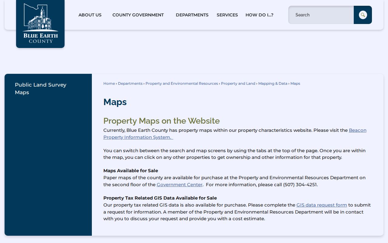
The county warns that property-map lines are not surveys. District, flood, zoning, and school layers can add context, but they have different custodians and update schedules.
Mankato Deed Records Along Streets
Use a parcel's legal description or PIN to move from the Mankato street record to the title record. The Recording Division directs online users to Fidlar Laredo and Tapestry, but the county does not state the precise online cutoff or the current live field order. A useful deed entry preserves the grantor, the party transferring an interest; the grantee, the party receiving it; the recording date; document or instrument number; document type; and legal-description or parcel reference. The deed image or a copy is the next check.
Search the current owner as grantee to find the acquisition instrument. The seller on that instrument becomes the next prior-name lead. Repeat the pair backward, checking initials, marital forms, trusts, estates, corporations, and spelling variants. When an online sequence stops, the county's public research area and historical books are the fallback. County guidance says the books reach the mid-1800s, although the page does not name the web cutoff.
The Real Estate Records Search page explains the Recording Division's counter, Laredo/Tapestry path, and document-number copy route.
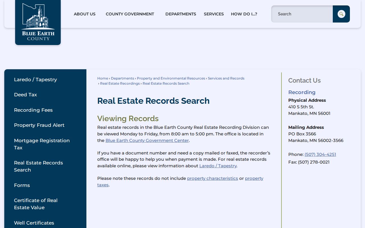
A deed proves a recorded transfer of an interest. It does not identify every person who was present at the address during that period.
Note: The county has not published an exact online deed cutoff, so ask recording staff before assuming an older sequence must be in historical books.
Mankato Street Directory Coverage
Different address-keyed sources answer different questions. A parcel card can tie a street number to an owner and legal description. A map can show which parcels belong in a block review. Recorded instruments describe title transfers, while a reverse directory offers a printed address-to-householder lead. Keeping those records separate prevents a Mankato by-street search from overstating what a single source proves.
| Address record | Local keeper | Street-level value | Access route |
|---|---|---|---|
| Parcel card and assessment | Blue Earth County assessor | Owner, situs, mailing address, PIN, characteristics, valuation, sales, and possible exemptions or permits | Beacon by address or PIN; fields need live confirmation |
| GIS parcel map | County Mapping and GIS | Parcel geometry, adjacent parcels, PIN, legal description, and map context | Beacon map; click neighboring parcels; not a survey |
| Recorded deed or plat | Recording Division | Parties, date, instrument type, legal description, lot and subdivision links | Laredo/Tapestry, counter, or historical books; copy charges apply |
| Voter confirmation or file | Minnesota Secretary of State and elections office | Individual registration match or statutory public-list fields | MNVotes or a restricted request under Minn. Stat. §201.091 |
| Permit or code file | City of Mankato custodian | Work, application, notice date, and public applicant or owner data | CityView status route or a request for existing releasable records |
| Polk reverse section | BECHS Research Center | Published householder or address lead for the volume year | Research Center collection, with gaps and address-change checks |
For an extended title trail from one address, use the Mankato past-residents record path; it follows the same legal description backward rather than surveying a whole street.
Mankato Voter Checks by Address
MNVotes is not a browseable street directory. It confirms one Minnesota registration only after a person supplies first and last name, full birth date, and address details. Its address mode can switch between ZIP and county search. In county mode, the form asks for county, city or township, house number, and street. Selecting the apartment or unit option makes the unit field required. A result reflects the supplied identifying details, not a blockwide roster.
Minnesota's public voter-list route has a narrower purpose. Under Minn. Stat. §201.091, a registered Minnesota voter seeking a copy must identify themselves and certify an election, political-activity, or law-enforcement use. The list cannot be sold, used for an unrelated purpose, or published in a searchable internet database. Blue Earth County Elections can answer local administration questions, but no county digitized historical poll-book run was located.
Note: A protected voter or a Safe at Home participant may not display the address a searcher expects, so a nonmatch does not settle a residence question.
Mankato Permit and Code Leads
Address files can date a change to a structure. Mankato CityView accepts permit applications and provides status and email notices for work such as renovations, decks, radon projects, demolition, lot splits, and variances. The service launched online in 2022 for Mankato and Lime/Mankato townships. The inspected material did not establish a complete historical public permit index, a stable field list, or its earliest online coverage date.
The city's code categories include property, non-property, licensing, and parking, with notice and a 20-day appeal route. No public case-name or address index was located for the code process. For an older address, request an existing record from the city custodian and give the address plus a date range. Disclosure depends on the classification of the file.
Mankato Street Names Across Time
Old Mankato address work needs spelling and naming checks. City minutes record Map Court changing to Swan Lane in the Eldorado Park subdivision in 2001 to reduce addressing and emergency confusion. The city standardized Nava(h)o or Tullemore to Tullamore in 1987 and 1988, using both signs temporarily. West Drive became Thomas Drive in 1973 in an old airport-annexation tract. These are documented bridge points, not proof of a single citywide renumbering program.
Search the older spelling, newer spelling, subdivision name, nearby parcel, plat, legal description, and reverse-directory section before treating a missing result as a break in the record. No comprehensive official Mankato street-change crosswalk was located.
Note: Keep the printed address from each historical source beside its normalized form, because a modern lookup may not recognize an older street label.
Mankato Reverse Directory Leads
The historical address layer sits at the Blue Earth County Historical Society. Its Polk city-directory collection runs from 1892 through 2014. The collection identifies an address or householder section starting in the 1929-30 volume, while a separate BECHS newsletter describes reverse Mankato directories as beginning in 1932. Preserve both catalog statements in a research log. They may refer to different formats or definitions.
Read the address section for the printed street number, then check the alphabetical entry for a name variant, relationship note, occupation, business, or notation used in that volume. A directory is a published lead from a compilation period. It should be paired with a deed, census, newspaper notice, or other dated record. The fuller collection history belongs with the Mankato city directories, while the street entry remains an address tool.
Mankato Street Directory Limits
An address record cannot supply a complete list of people at a parcel. A recorded owner may receive mail elsewhere. Assessment fields describe land and improvements, not every household member. A historical directory often names one published householder. Utility customers and delivery recipients are not ordinary public address sources, and driver-license information is restricted by the federal Driver's Privacy Protection Act. Map overlays can describe a district without identifying anyone who lives there.
Lawful personal use. Use Mankato address records for family history, estate research, civic questions, and property curiosity. Minnesota law does not permit using records to stalk, harass, intimidate, or harm another person.
Each result should retain its source and date. Confirm a critical property, boundary, or recorded-document fact with the office that holds it.